Kod: 02252655
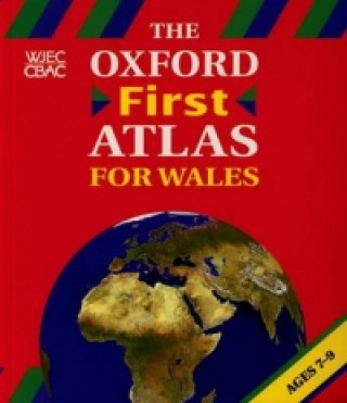
Oxford First Atlas for Wales
The Oxford First Atlas for Wales is a beautifully illustrated atlas designed to appeal to children. It is specifically compiled to meet the requirements of the National Curriculum. * Simple clear, topographical maps of the Britis ... więcej
- Język:
 Angielski
 - Oprawa: Miękka
- Liczba stron: 56
Wydawca: Oxford University Press, 2001
- Więcej informacji o książce

Zobacz książki o podobnej tematyce
-

Dune
50.32 zł -3 % -

Haunting Adeline
125.47 zł -1 % -

Berserk Deluxe Volume 2
212.67 zł -1 % -

White Nights
10.94 zł -28 % -

Powerless
48.61 zł -11 % -

Atomic Habits
57.35 zł -28 % -

Dune Messiah
46.20 zł -3 % -

Berserk Deluxe Volume 3
217.79 zł -3 % -

One Day
34.25 zł -44 % -

Berserk Deluxe Volume 1
211.26 zł -2 % -

Iron Flame
60.97 zł -28 % -

Surrounded by Idiots
36.66 zł -28 % -

Harry Potter and the Prisoner of Azkaban (Minalima Edition)
169.97 zł -2 % -

Gravity Falls Journal 3
89 zł -

Heaven Official's Blessing: Tian Guan Ci Fu (Novel) Vol. 1
89.40 zł -

The Creative Act
102.66 zł -12 % -

Dune
47.21 zł -23 % -

Hunting Adeline
125.97 zł -4 % -

A Little Life
48.61 zł -11 % -

Children of Dune
46.61 zł -2 % -

Heaven Official's Blessing: Tian Guan Ci Fu (Novel) Vol. 2
77.55 zł -14 %
Powiadomienie o dostępności
Wpisz swój adres e-mail, aby otrzymać od nas powiadomienie,
gdy książka będzie dostępna. Proste, prawda?
Więcej informacji o Oxford First Atlas for Wales
 Opis
Opis
The Oxford First Atlas for Wales is a beautifully illustrated atlas designed to appeal to children. It is specifically compiled to meet the requirements of the National Curriculum. * Simple clear, topographical maps of the British Isles * Environmental maps of each of the continents * Stunning satellite images and supporting illustrations * Links made between photographs, artwork, map symbols, and text in a number of expanded keys * A child-friendly index with page numbers and grid references * 8 pages of new mapping; six specifically of Wales and two of the world
 Szczegóły książki
Kategoria Książki po angielsku Children's, Teenage & educational Reference material (Children's / Teenage) Atlases & maps (Children’s/Teenage)
- Pełny tytuł: Oxford First Atlas for Wales
- Język:
 Angielski
 - Oprawa: Miękka
- Liczba stron: 56
- EAN: 9780198318729
- ISBN: 0198318723
- ID: 02252655
- Wydawca: Oxford University Press
- Waga: 203 g
- Wymiary: 257 × 221 × 4 mm
- Data wydania: 19. July 2001
zadowolonych klientów
Od roku 2008 obsłużyliśmy wielu miłośników książek, ale dla nas każdy był tym wyjątkowym.
Copyright! ©2008-24 libristo.pl Wszelkie prawa zastrzeżonePrywatnieCookies


 21 milionów książek
 Dostawa 10.99 zł
 (32) 444 93 66 (8-15.30h)