 Kontakt
 Jak kupować
Dostawa
Doradca ds. zakupów
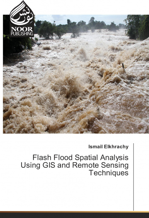
Flash Flood Spatial Analysis Using GIS and Remote Sensing Techniques
 Angielski
 78 b
78 b
30 dni na zwrot towaru
Klienci kupili także

 /
/
 Miękka
 46.00
zł
46.00
zł


 /
Miękka
192.10
zł
/
Miękka
192.10
zł


 /
Miękka
148.30
zł
/
Miękka
148.30
zł

 /
Miękka
88.19
zł
/
Miękka
88.19
zł


 /
Miękka
124.94
zł
/
Miękka
124.94
zł
The "Flash Flood Spatial Analysis Using GIS and Remote Sensing Techniques" is a readable text that presents basic concepts and practical material in each of the areas remote sensing and Geographic information system. It is written primarily for students and researchers who are interested in studying flash flood using satellite images. The book contains a case study in Najran city, KSA. Although the book has descriptions of some software such as ArcGIS and Hec-Ras which are used to get water surface during any flash flood event. Moreover, it contains how to use SAR images to calibrate obtained results from Hydrology investigations.


Informacje o książce
Angielski

Podaruj tę książkę jeszcze dziś
To łatwe
1 Dodaj książkę do koszyka i wybierz „dostarczyć jako prezent” 2 W odpowiedzi wyślemy Ci bon 3 Książka dotrze na adres obdarowanegoMogłoby Cię także zainteresować
 /
Miękka
66.95
zł
/
Miękka
66.95
zł


 /
Miękka
68.66
zł
/
Miękka
68.66
zł


 /
Twarda
1 434.25
zł
/
Twarda
1 434.25
zł
 /
Miękka
199.25
zł
/
Miękka
199.25
zł


 /
Miękka
75.70
zł
/
Miękka
75.70
zł
 /
Miękka
346.35
zł
/
Miękka
346.35
zł
Cześć! Jestem Libroamiko, Twój doradca książkowy.
Jak mogę Ci pomóc?