Code: 04621050
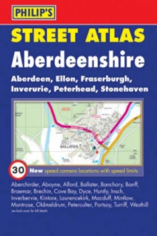
Philip's Street Atlas Aberdeenshire
This fully revised pocket-sized street atlas of Aberdeenshire gives comprehensive and detailed coverage of the entire county. The route planner shows all the A and B roads, and can be used when driving to get close to the destinat ... more
- Language:
 English
 - Binding: Paperback
- Number of pages: 216
Publisher: PHILIP'S, 2008
- More about this

You might also like
-

Amory Wars: In Keeping Secrets of Silent Earth 3
162.93 zł -7 % -

Eliyah
113.44 zł
Availability alert
Enter your e-mail address and once book will be available,
we will send you a message. It's that simple.
More about Philip's Street Atlas Aberdeenshire
 Book synopsis
This fully revised pocket-sized street atlas of Aberdeenshire gives comprehensive and detailed coverage of the entire county. The route planner shows all the A and B roads, and can be used when driving to get close to the destination before turning to the relevant large-scale street map.The street maps show every named road, street and lane very clearly, with major roads picked out in colour. The maps are at a scale of 1 1/3 inches to 1 mile, with larger scale maps at a scale of 2 2/3 inches to 1 mile for the following towns: Aberchirder, Aberdeen, Aboyne, Alford, Ballater, Banchory, Banff, Blackburn, Brechin, Cove Bay, Dyce, Ellon, Fraserburgh, Huntly, Insch, Inverbervie, Inverurie, Kintore, Laurencekirk, Macduff, Mintlaw, Montrose, Newmachar, Newtonhill, Oldmeldrum, Peterculter, Peterhead, Portlethen, Portsoy, Rosehearty, Stonehaven, Turriff and Westhill. Aberdeen city centre is shown at 5 1/3 inches to 1 mile.Other information on the maps includes postcode boundaries, car parks, railway and bus stations, post offices, schools, colleges, hospitals, police and fire stations, places of worship, leisure centres, footpaths and bridleways, camping and caravan sites, golf courses, and many other places of interest. New to this edition are fixed single and multiple speed-camera locations, with corresponding speed limits.The comprehensive index lists street names and postcodes, plus schools, hospitals, railway stations, shopping centres and other such features picked out in red, with other places of interest shown in blue.
 Book details
Book category Books in English Lifestyle, sport & leisure Travel & holiday Travel maps & atlases
- Full title: Philip's Street Atlas Aberdeenshire
- Language:
 English
 - Binding: Paperback
- Number of pages: 216
- EAN: 9780540092918
- ISBN: 0540092916
- ID: 04621050
- Publisher: PHILIP'S
- Weight: 245 g
- Dimensions: 204 × 144 × 11 mm
- Date of publishing: 01. August 2008
Trending among others
-
Österreich, Autoatlas 1:150.000, freytag & berndt
110.21 zł -5 % -

Burgenland, Straßen- und Freizeitkarte 1:150.000, freytag & berndt
54.34 zł -5 % -
Lonely Planet Scotland Planning Map
36.22 zł -11 % -
Lonely Planet Africa Planning Map
24.68 zł -23 % -
Azores, Special Places of Excursion Road Map 1:50 000
54.34 zł -5 % -

Camino de Santiago: Camino Frances
84.30 zł -23 % -
Deutschland, Autoatlas 1:200.000, 2024/2025, freytag & berndt
70.33 zł -4 % -
Albanien, Straßen- und Freizeitkarte 1:150.000, freytag & berndt
54.34 zł -5 % -

Tokyo- Michelin City Map Laminated 9219
45.53 zł -7 % -
Evia
36.93 zł -4 % -

Gibraltar
89.36 zł -
Lonely Planet Sydney City Map
36.22 zł -11 % -

Lonely Planet Washington DC City Map
24.68 zł -23 % -

Malt Whisky Map of Scotland
38.45 zł -23 % -
Transit Maps of the World
138.44 zł -13 % -
Israel
65.88 zł -4 % -

Annapurna, Nepal
78.12 zł -15 % -

Lanzarote Marco Polo Holiday Map
29.34 zł -23 % -

Uzbekistan
58.79 zł -5 % -

New York - Michelin City Map 9204
45.73 zł -4 % -
Slowenien - Kroatien - Bosnien-Herzegowina, Straßenkarte 1:500.000, freytag & berndt
54.34 zł -5 % -

Neuer Straßenatlas Deutschland/Europa 2024/2025
29.34 zł -9 % -
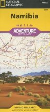
Namibia
64.46 zł -7 % -

Ben Nevis and Fort William, the Mamores and the Grey Corries, Kinlochleven and Spean Bridge
61.52 zł -23 % -
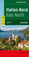
Italien Nord, Straßenkarte 1:500.000, freytag & berndt
54.34 zł -5 % -

Cinque Terre - Portofino Hiking + Leisure Map 1:50 000
44.52 zł -13 % -

Vienna City Atlas 1:12,500 scale
66.38 zł -4 % -
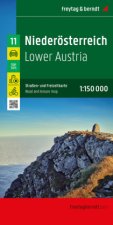
Niederösterreich, Straßen- und Freizeitkarte 1:150.000, freytag & berndt
54.34 zł -5 % -
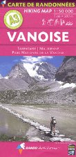
Carte de randonnées Alpes Vanoise. Hiking Map Alps Vanoise
64.46 zł -
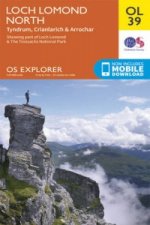
Loch Lomond North, Tyndrum, Crianlarich & Arrochar
61.52 zł -23 % -

Ardnamurchan, Moidart, Sunart and Loch Shiel
61.52 zł -23 % -
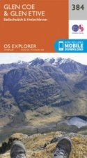
Glen Coe
61.52 zł -23 % -
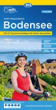
ADFC-Regionalkarte Bodensee, 1:50.000, reiß- und wetterfest, mit kostenlosem GPS-Download der Touren via BVA-website oder Karten-App
46.75 zł -4 % -
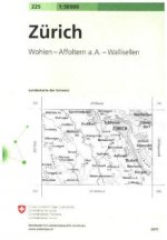
Zurich
91.79 zł -
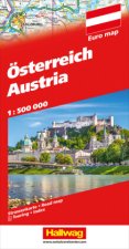
Österreich Strassenkarte 1:500 000
53.43 zł -6 % -

Hong Kong & Macau Travel Map Sixth Edition
39.87 zł -11 % -
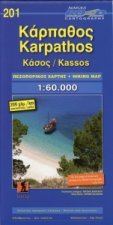
Karpathos Kasos
34.70 zł -5 % -

Pocket Atlas of Remote Islands
100.69 zł -15 % -
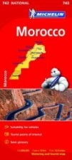
Morocco - Michelin National Map 742
57.37 zł -7 % -
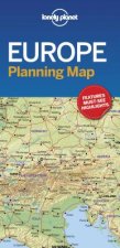
Lonely Planet Europe Planning Map
33.79 zł -23 % -
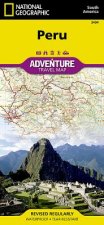
Peru
64.46 zł -7 % -
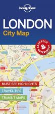
Lonely Planet London City Map
36.22 zł -11 % -
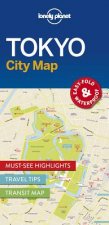
Lonely Planet Tokyo City Map
36.22 zł -11 % -
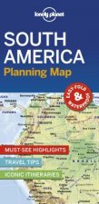
Lonely Planet South America Planning Map
24.68 zł -23 % -

Vintage Maps Kalender 2024 - 30x30
24.28 zł -35 % -

Mountaineering in the Swiss Alps
78.12 zł -15 % -

Biker Atlas EUROPA 2024
72.76 zł -
West Highland Way Map Booklet
45.84 zł -23 % -
Tenerife Hikers Maps
52.21 zł -23 %
safisfied customers
Since 2008, we have served long line of book lovers, but each of them was always on the first place.
Copyright! ©2008-24 libristo.pl All rights reservedPrivacyPoučení o cookies


 21 million books
 Delivery 12.99 zł
 (32) 444 93 66 (8-15.30h)